Under IMO's e-Navigation Strategy Implementation Plan, the digital infrastructure and information delivered through e-Navigation
will improve maritime safety, enhance security, enhance environmental protection, reduce administrative burden, and improve
operational efficiency at sea. The benefits of this service include reduced VHF communications, reduced workload on
both ships and on land, and the possibility of future innovation of autonomous ships, and NSONE supports global services to
make these services available to anyone worldwide.


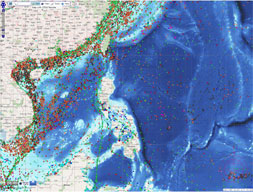
Maritime traffic info
Maritime safety service
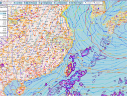
Maritime weather
Ship reporting(MRS)
Route sharing
Just In Time(JIT)

Open source
International standards compliance
Customized service
Various analysis data

Web-based AIS location info
Entry/Depart
Cargo/Ship company
Resource info(MMSI, IMO No. etc)
Route info
Maritime weather info

High waves and sea winds
Air pressure, temperature, wind
Maritime visibility
Sea forecast
Disaster situations
Tides

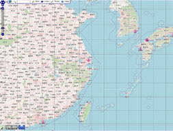
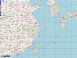
Route plan exchange function
- The optimum route exchange function
provided by the VTS center or the competent
authority for the designated route by the ship

Risk/Restricted areas
Accidents location
NAVTEX
Route and hydrography
Pirates

Claire Na / Technical support / [email protected]
Lukas Kim / Global Sales Manager / [email protected]